The Gendarm path, known as Gendarmstien in Danish, is the former border guard patrol path between Denmark and Germany. It was in use from 1920 until 1958, where each gendarm (or border guard) had a specific section of the coastline to patrol. They would walk along the water as best they could and thereby created a small walking path.

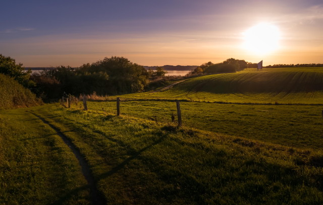
Picture by Bent Rasmussen – used with permission
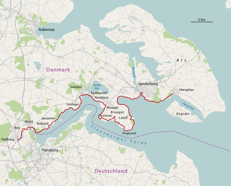
The Gendarm path is one of Denmark’s best know and popular walking routes and follows a very scenic landscape along the coast of Flensborg Fjord. The full length of the path is 74km from Padborg in west to Høruphav on South Als.

Trekking the 74km s not something we planned to do at one go, especially in our unfit state! However, walking the path is a good way of enjoying and experiencing the natural beauty of the area. So our aim is to get through all the path in smaller chunks.
This is our progress so far. We will add more as we cover more of the path:
- Sonderborg – Horuphav: Hiked on 23rd September 2012. Easy path through open fields and forest, with views over Flensburg fjord. You can walk closer to water, but if you follow the marked path this does not happen much. Buses running from Sonderborg to Fynshav or Kegnaes and back stop close to the start of the Gendarmstien in Horuphav, making it a pleasant Sunday trek on a nice day without having to backtrack.
- Sonderborg – Vemmingbund: Biked on 23rd July 2012. Beautiful views along the water’s edge. If you are not much into hills, the path along the water is easily manageable (from someone who abhors cycling up hills with a passion) and you can walk up the hills if you prefer. However, if hills are your thing you can knock yourself out on the various side paths. Perfect on a warm summer day as the sea breeze keeps you cool
- Looping Broager Land peninsula: A mountain bike ride with lots of different vistas and road conditions, through forests, over beaches and fields.
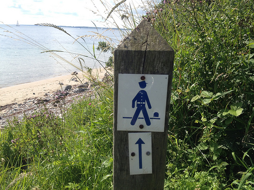
If you are interested in following the trail yourself, the tourist centres in the area have developed a leaflet with maps of the path divided into 10 manageable chunks. The leaflet is only in Danish or German, but a map is a map so you should be able to find your way around. The path is also well marked on the ground with small wooden poles with a blue border guard on them.


